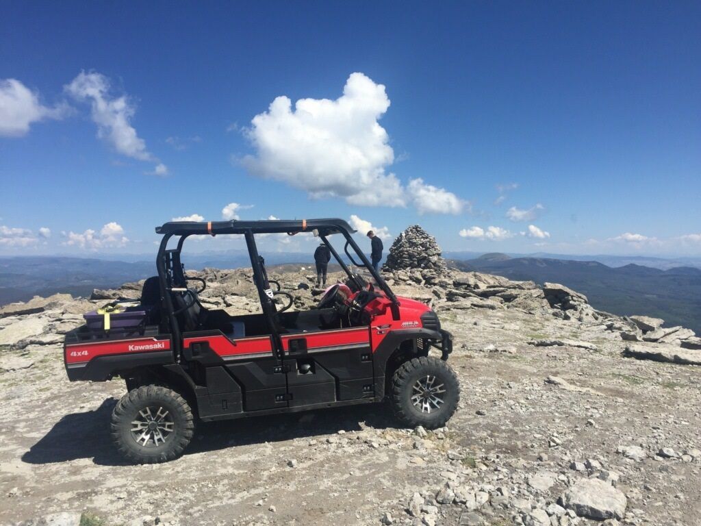
Take a look at some of our favorite trails that meander through the heart of the San Juan and Rio Grande National Forests. Perfect for thrill-seekers and nature lovers alike, our rental selection promises an unmatched experience exploring some of the most breathtaking routes these natural treasures have to offer.
ATV/UTV Trails on the San Juan & Rio Grande National Forests
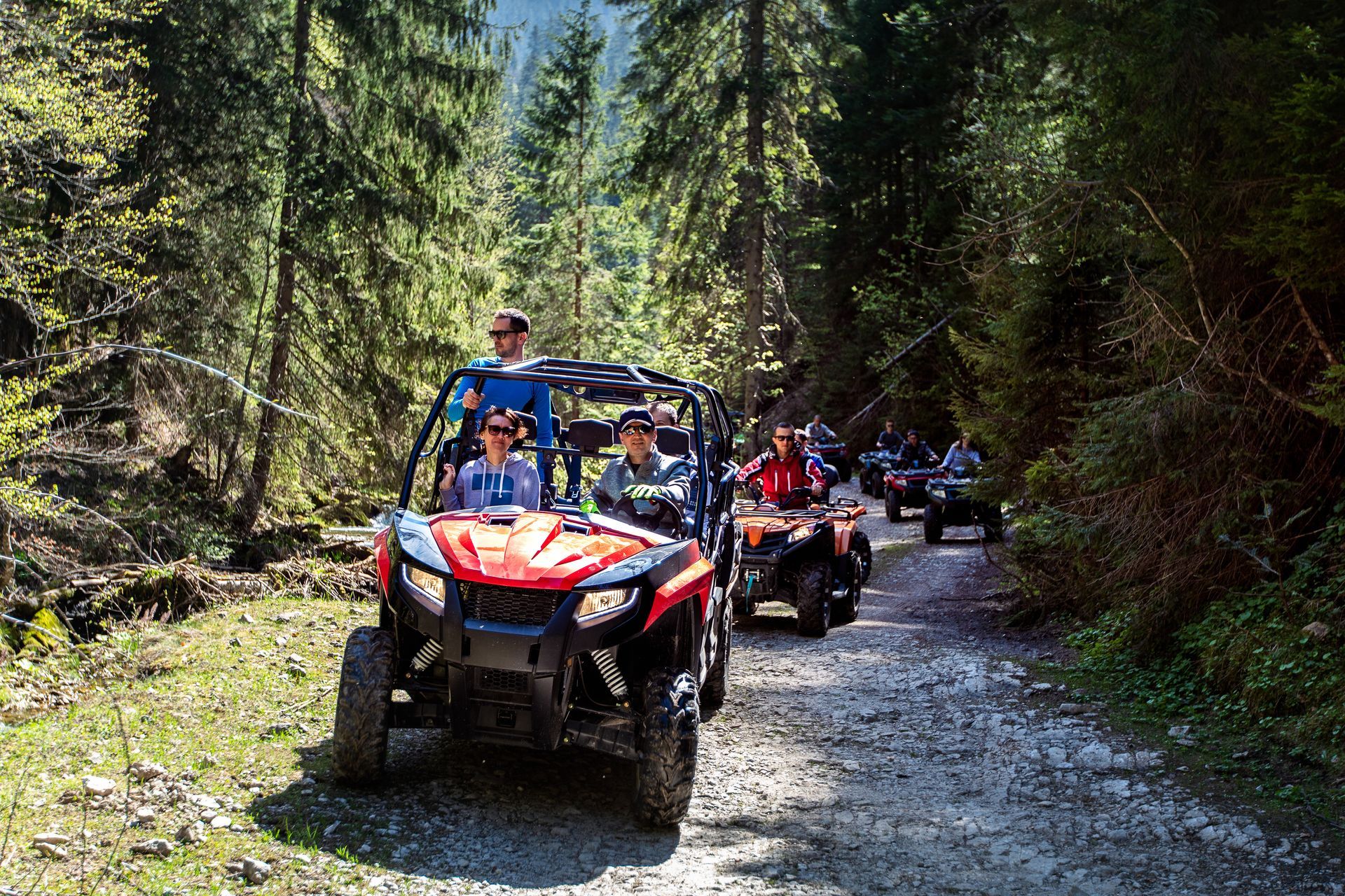
Turkey Springs / Devil Mountain Trail Complex
Newly completed in 2015, this is one of the best ATV trail riding experiences in SW Colorado. There are over 50+ miles of riding just in this area alone. The system is comprised of approximately 15-20 miles of 50-inch wide trail, 12 miles of jeep trails and 15-20 miles of forest service roads. This area has it all. There are some very steep and narrow sections and lengths of loose rock, and areas that become slick when wet. There are also areas that are very wet and swampy and some roads that have off camber sections with deep ruts that if your not careful, could flip a machine on its side. Driving this trail in spring to early summer can be challenging because of slick areas and a few small stream crossings.
Along the way there are several areas of interest, such as the
Turkey Springs Guard Station, Devil Mountain Tower, and Devil Canyon rim. There are several shorter 2-5 mile loops within this route as well.
Sections of this trail (15 miles) are limited to ATV’s / UTV’s and motorcycles that are 50” or less in width. No vehicles are allowed on the trail that exceeds 50” in width. Our Can Am Maverick sxs, and our Can Am Outlander 2 Up ATV machines are the only vehicles in our fleet that meet this requirement. Our 4 and 6 seater vehicles are permitted to operate only on forest service roads and jeep trails in this route and do not connect.
Distance to the north east side Trail Head: If your towing one of our trailers, the parking / unloading area is approximately 7 miles NW from our in town location. Our new ride out location accesses the trail complex from the south entrance and is 10 miles to the west of town.
Trail Rating: This trail is suitable for riders with at least an intermediate level of ATV / UTV riding experience. We give this trail an overall difficulty rating of 3.5 to 4.0 ( 1 being easy, 5 being very difficult and potentially hazardous to rider and machine)
Trail Restrictions
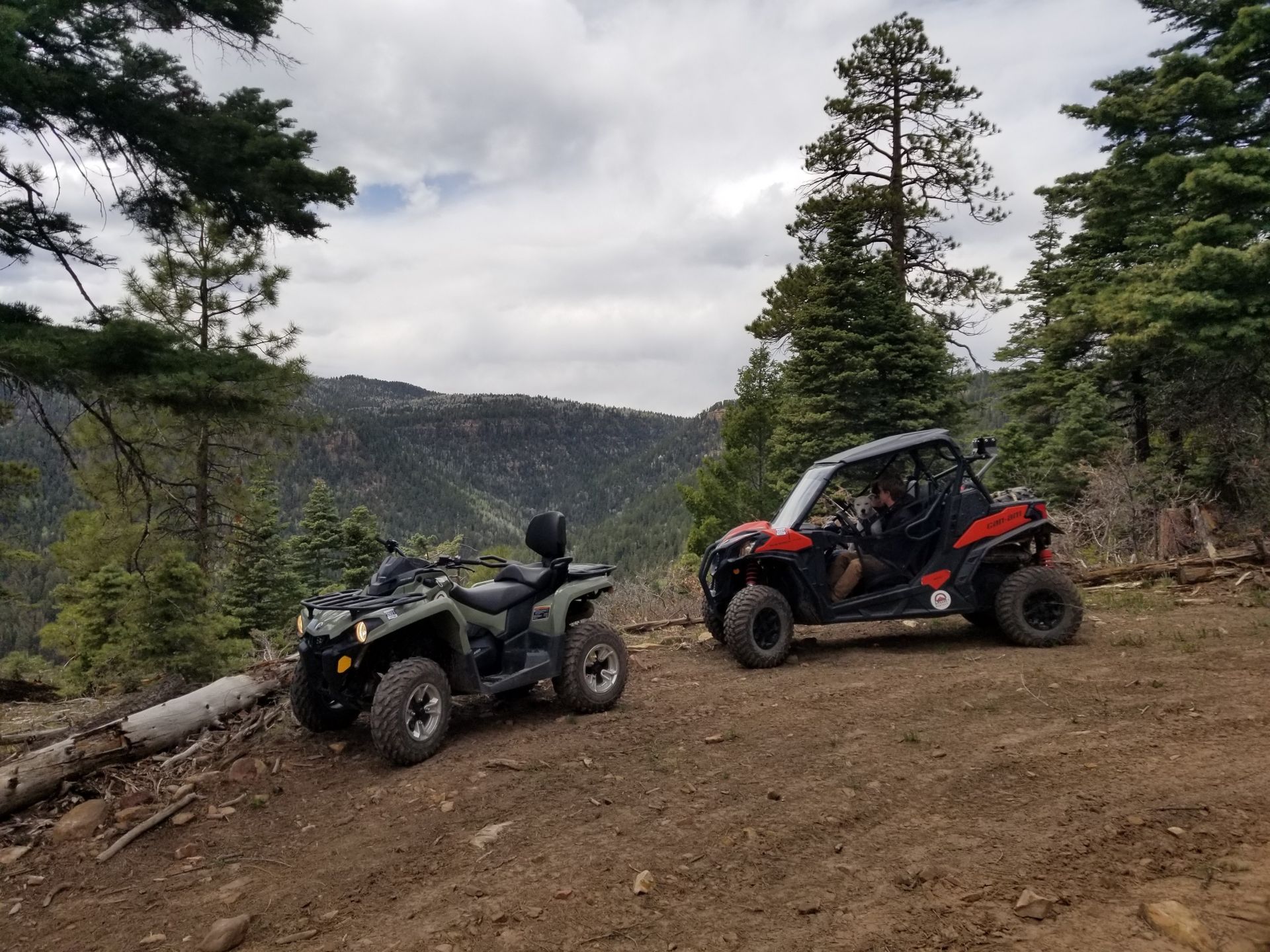
Quartz Meadow-South San Juan Wilderness via East Fork 667 Road Access
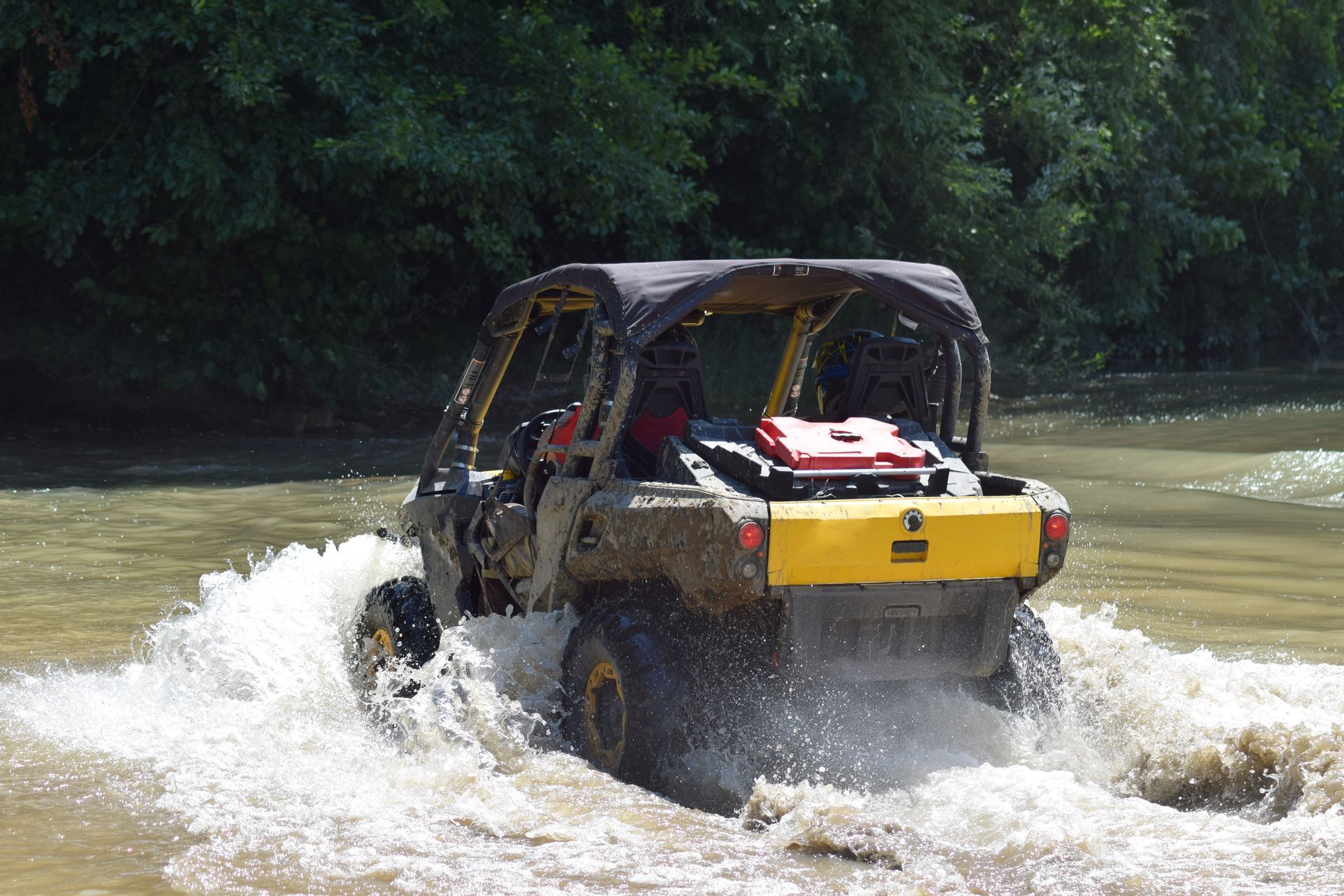
In order to access this area you must be able to tow one of our trailers to the trail head. The parking / unloading area is approximately 11 miles from our location via highway 160 east, turn right on East Fork Road (FR 667). The dirt parking area is approximately ½ mile in on the right and left side of the road just past the cattle guard. The first 8 miles of the trail are on a somewhat maintained forest service road that meanders through the breath taking East Fork River valley. Some of the best trout fishing in Pagosa country can be found in this canyon along with the spectacular Silver Falls (6.5 miles in on the left at the old forest service cabin).
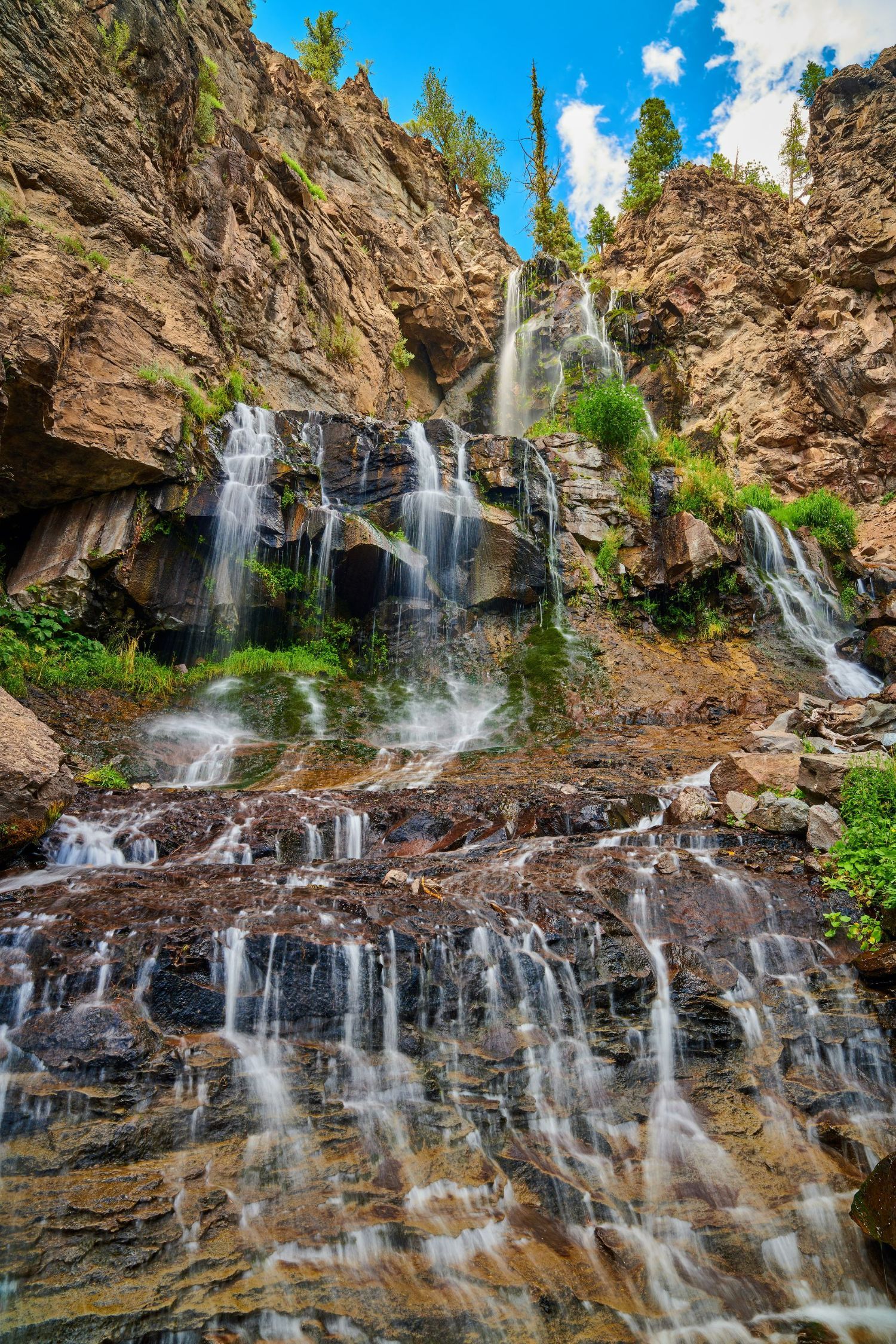
The hiking trail to Silver Falls is a short but steep ¼ mile and there is a sign and parking area just past the cabin. Just remember there is a 4-mile section that is private land. Stay on the road until off the ranch property. There are several shallow river crossings on this section of the trail that are easily navigated during low water. At the 8 mile mark you will come to a split in the road. Take a right for Quartz Meadows (FR 684) (approximately 8 miles in). DO NOT CONTINUE EAST / STREIGHT ON THE 667 UNLESS YOU HAVE ONE OF OUR ROCK CRAWLER STYLE MACHINES AND HAVE MET THE EXPERIENCE REQUIREMENTS TO ATTEMPT THIS ROUTE. THIS ROAD IS EXTREMELY NARROW AND STEEP AND WILL LEAD YOU TO THE TOP OF ELWOOD PASS. Shortly after turning onto Quartz meadow road FR684 you will have to cross the East fork of the San Juan River. Slow and steady and 4×4 recommended. Early in the season this is impassable. After crossing the river there is a scenic pull off that offers an amazing view of Quartz River Canyon. The remaining 4 miles is rocky and steep with aspen forest and another creek crossing ending at the edge of the South San Juan Wilderness Area. After crossing Quartz Creek the trail dead ends in some beautiful picnic areas and high mountain meadows.
There are no width/vehicle restrictions on this road.PLEASE NOTE: DUE TO THE EXTREME NATURE OF THE UPPER 9 MILE SECTION OF FR 667 EAST FORK ROAD THAT LEADS TO THE TOP OF ELWOOD PASS, WE ONLY ALLOW CERTAIN MACHINES ( KRX4-1000 AND HONDA TALON 1000X4) THAT ARE SPECIALY EQUIPPED FOR THIS ROUTE BEYOND THE QUARTZ MEADOW INTERSECTION. ALL DRIVERS MUST ALSO MEET EXPERIENCE REQUIREMENT PRIOR TO RENTING. PLEASE CALL FOR MORE DETAILS PRIOR TO RENTING. ALL MACHINES HAVE TRACKERS.
Distance to Trail Head: The trail head / unloading area is approximately 11 miles (20 minute drive each way) east of our location.
Trail Rating: East Fork Road (FR 667) to the end of Quartz Meadow (FR684) - We give this road an overall difficulty rating of 3 out of 5. The first 8 miles are relatively easy but the last 4 miles of Quartz Meadow (FR 684) road is definitly rocky and rough.
East Fork road (FR 667) to the top of Elwood Pass-The alternate route up to the top of Elwood pass, past the Quartz Meadow turn off. The additional 9 miles past the Quartz Meadow turn off has a difficulty rating of 4.5 out of 5. Expert level experience required. This route is the real deal. The trail ascends over 3000 vertical feet from this point and requires multiple stream crossings, many of which can become impassable depending on the weather and time of year. Someone is injured every year and loss of life has occured. Total distance is approximately 25 miles round trip to Quartz Meadow – 3-4 hours. Total distance to the top of Elwood Pass via FR667 is 36 miles round trip - allow at least 6 hours.
Trail Restrictions
Blue Creek 4x4 Trail
This is a fun ride, it doesn’t go anywhere important but is a “roller coaster” type ride with enough challenge to keep you awake. This trail goes through Kit Carson’s old hunting grounds. The trail is about 13 miles long each way and connects The Blanco Road (FR 326) 7 miles south of Pagosa to the Buckles Lake Road (FR 663) near Chromo, Colorado. There is a crossing of the Blanco River (good rainbow fishing) that can only be done after spring runoff season is over. The first 4 miles of the trail can be muddy and impassable in wet weather unless you have chains. Do not attempt this trail if the weather forcast is calling for rain. Once you cross the river the trail remains rough and very rocky for the next 6 miles. Fun but you will be glad when you reach the other side. The terrain varies from Ponderosa Pine forest to beautiful Aspen thickets. The Average elevation is about 8000 to 9000 feet. There are some shorter 4×4 trails off the main route to try as time allows. This is a 20 – 30 mile round trip depending on how many side trails you decide to explore.
There are no width or ATV or UTV vehicle restrictions on this trail.
Distance to Trail Head: The trail head / unloading area is approximately 9 miles south of our location via highway 84, then turn left on Blanco Road (CR 326) and go for 2.5 miles, then right on Blue Creek (FR 012) for less than a mile to the end. Drive time 25 minutes each way.
Trail Rating: This is a great trail if you are an intermediate level driver. We give this trail a difficulty rating of 4. However, loss of life has occurred on this trail in the past, and some of the mud holes are deep enough to flood the machine and cause irreparable / costly damage. If you are not sure how deep it is, go around!
Trail Restrictions
Summitville, Greyback Mountain, and Elwood Pass via Tucker Ponds Road Access
This is an alternate route to the top of Elwood Pass. This is a great way to access the Elwood Pass area without having to go up East Fork Road or cross the river during high water. Tucker Ponds road FR390 (Pass Creek) runs about 9 miles and eventually ties in with FR 380 (Park Creek). From there, take a right and you will have access to explore the abandoned mining town of Summitville (9 miles), Greyback Mountain summit (15 miles) or drive 19 miles to the town of Platoro and have lunch (great burgers). Much of this route is at or above tree line (11,000 feet) so bring some warm clothes as it can snow up there at any time of year. On heavy snow years you can expect to see snow up through July. This is a great opportunity to get in a little summer sled ride or snow ball fight. There is also an endless network of more challenging side trails that are waiting to be explored. The only limitation is time.
There are no width or ATV or UTV vehicle restrictions for this route.
Distance to Trail Head: You must drive up and over Wolf Creek Pass via highway 160 East (29.4 miles / 35 minutes) and turn right into the paved parking / unloading area that is the beginning of Tucker Ponds Road (FR 390). Early in the season Tucker Ponds access may be closed due to snow. You can drive an additional 6 miles to Park Creek Road (FR 380). This road is maintained year-round and will give you access to Summitville and beyond.
Difficulty Rating:
We give this route an overall difficulty rating of 2.5 – 3, but some of the side trails are a little more difficult. However, please remember don’t take your eyes off the road too long to look at the scenery, as there are several areas where the road drops off several hundred feet and there are no guard rails up here. This is a 30 to 60 mile round trip, depending on where you decide to go. Please factor in at least 30 – 45 minutes each way for transport of the machine. You will likely want to stop at the top of Wolf Creek Pass or Treasure Falls along the way and get a picture.
Trail Restrictions
Creede to Silverton – Rio Grande National Forest
We now have a location in Creede! Come visit us at Creede Adventure Rentals at 550 Airport Road 1.5 miles south of town. We are on the ATV access trail so no need to tow a trailer, just hop on and ride to the top of the continental divide. For more info go to www.creedeadventurerentals.com.
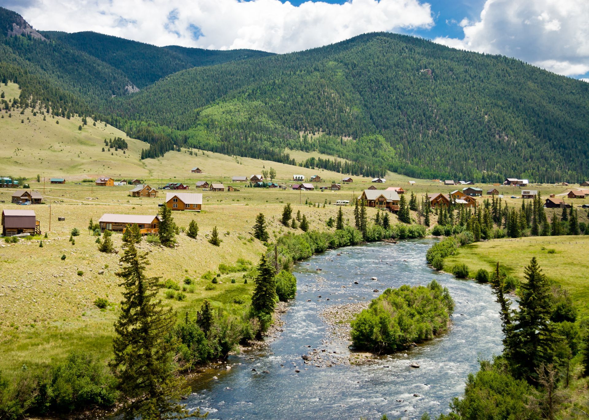
On the other side of Wolf Creek Pass to our north is the equally impressive Rio Grande National Forest with 1.8 million acres of National Forest and arguably some of the best 4×4 routes in the country.
This is our favorite overnighter type trip. We usually leave the evening before and reserve a room in Creede which is about 70 miles from Pagosa, or just plan on leaving super early from Pagosa the morning of our trip. Take highway 160 to South Fork and then turn left on hwy. 149 in South Fork, which will take you to Creede. We try to leave fairly early the next morning and trailer the vehicles about 20 miles to the Rio Grande Reservoir trail head. Yes, this is where the actual Rio Grande river starts. This trail is one of the best in the country. It runs the entire length of the Rio Grande river up to the top of Stony Pass (you will actually cross the head waters on your way to the top).
Once in Silverton we will check in to our hotel or campground, get cleaned up, and then enjoy a hot meal at any of the local eateries in town. The next morning we will head back over the pass, load up and be back in Pagosa or Creede (depending on where you pick up your machine), by 4:30 These are longer trips and require more planning but well worth it. Any trips to this area typically require multi-day ATV or UTV rentals. Make sure to check out our multi-day ATV / UTV rental discounts. The opportunities are as incredible as the scenery itself. Fishing, camping, hiking, waterfalls, acres of wild flowers, abandoned mines and mining towns to name a few. If this is something that interests you, please contact us. We would love to help plan a trip for you. We have extensive experience exploring our sister forest just to our north. Drive time to trail heads in this area vary from 1 to 2 hours from Pagosa Springs.